Tesla Builds In-House Maps to Patch Flaws in Vision-Only Driving
The automaker is developing a proprietary mapping system derived from its fleet to address persistent issues with speed limits and parking in its autonomous software.
By David Mokoena ·
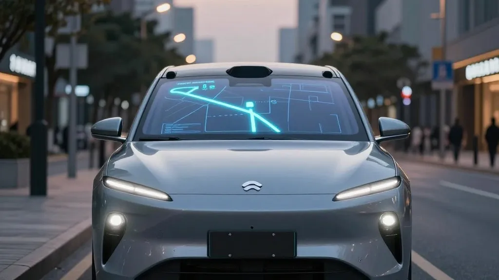
Tesla has long positioned its autonomous driving technology as a pure vision system, yet the company is now constructing its own mapping infrastructure to resolve common operational errors. This strategic pivot was announced during the Q3 2026 earnings call, marking a significant departure from the company's previous stance on navigation data.
The decision stems from a question posed by a retail investor who noted that mapping remains a primary challenge for Full Self-Driving. The investor specifically cited difficulties with reading speed limits, executing parking maneuvers, and selecting typical routes as the most frequent complaints. Tesla’s VP of AI, Ashok Elluswamy, acknowledged that the company should not rely on external mapping providers. He explained that a new AI-based architecture will utilize data collected from the vehicle fleet to generate these maps. This system will also learn individual driver preferences and respond to voice commands, starting with the beginning and end of trips in the upcoming v15 software release.
This shift contradicts messaging from company leadership over the past decade. In 2015, Tesla indicated it was building high-precision maps with significantly more granularity than standard navigation tools. However, at the 2019 Autonomy Day, Elon Musk described high-precision lane maps as a major mistake. He argued that reliance on such maps made self-driving systems extremely brittle and dismissed lidar as a fool's errand. The prevailing narrative was that cameras and artificial intelligence alone could solve driving in any environment without the need for detailed cartography.
Seven years later, the company is implementing a map layer to correct specific failures in its vision system. Speed limit signs, parking spots, and route selection are areas where the current software still encounters errors. In Belgium, a road safety group found that the system exceeded speed limits in 55% of tested 30 km/h zones in Brussels. The vehicles averaged 44 km/h, often because the car's display incorrectly showed a 50 km/h limit. In the United States, the NHTSA is considering an investigation into claims that Tesla Robotaxis speed through active school zones.
The new approach aligns Tesla’s operations more closely with competitors like Waymo. Both companies now use their fleets to map roads and keep that data updated. Waymo uses lidar-equipped vehicles to create high-definition maps before launching service, while Tesla is building a map from the collective data of its customer cars. Although Tesla is not currently using centimeter-level high-definition maps, the fleet-built data could evolve in that direction. This method also fits the current operation of the Robotaxi service, which runs in small, geofenced city areas.
The company has pushed unsupervised Full Self-Driving for customer cars to Q2 2027. Critics argue that the years of dismissing maps as unnecessary have created a credibility gap. Now that Tesla is adding a map layer and operating within geofences, the distinction between its approach and other self-driving programs becomes less clear. The new system aims to make the vehicles more reliable for everyday driving tasks that vision alone has struggled to handle consistently.
Source: Electrek · original report published